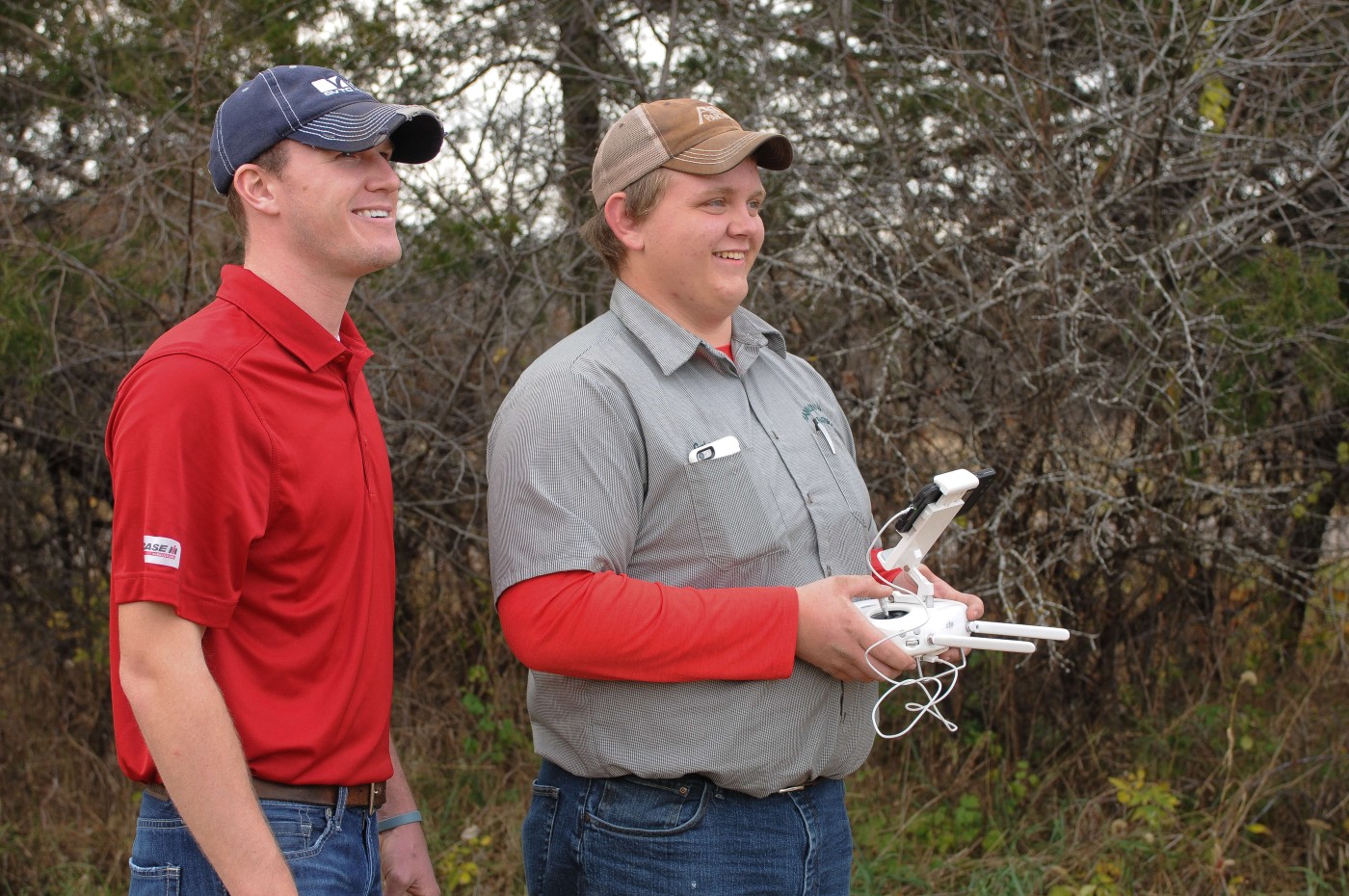
Wisconsin Technical College Drone Mapping Programs
The Certificate in Drone Mapping is designed for individuals seeking to develop skills using drones for digital mapping. Drone Mapping Specialists learn how to professionally operate an aerial drone, develop flight patterns, achieve correct altitudes and utilize specific camera settings. Once the data is obtained, Drone Mapping Specialist use the data to create Digital Terrain Models and effectively map the acquired data.
| Drone Mapping | Pathway Certificate |
Program Transfers |
Offered completely online |
Shared Certificate |
|
|---|---|---|---|---|---|
| Gateway | Drone Mapping at Gateway |
